


Agricultural News
Dought Map Continues to Show the Far Western Oklahoma Panhandle in Dire Need of Rain
Thu, 02 Apr 2020 15:42:55 CDT
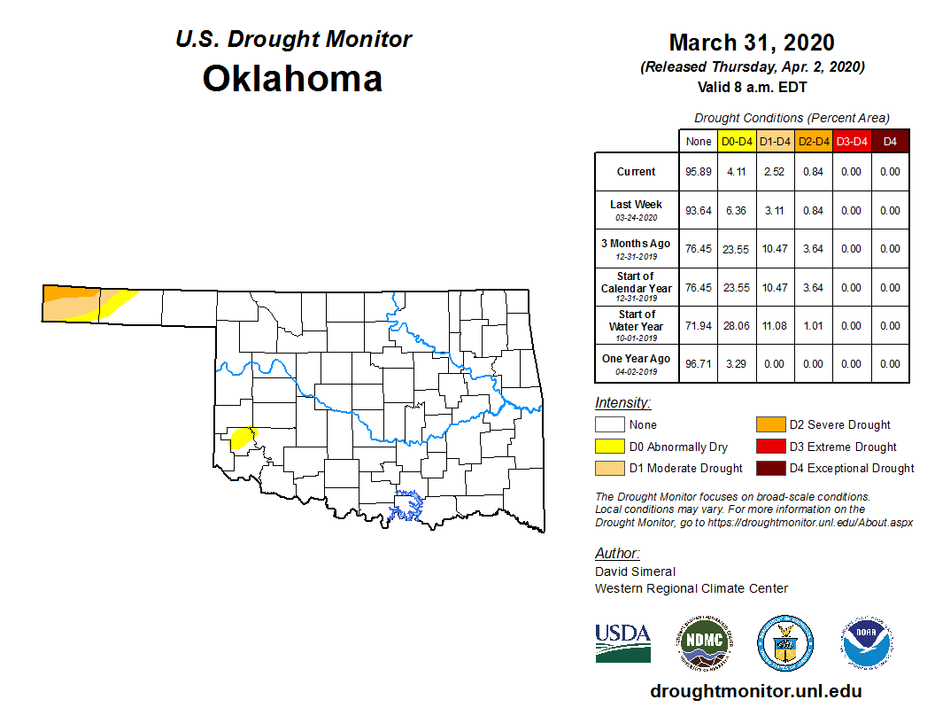 Taking a look at the latest drought monitor map released March 31 still shows a small section of the far western Oklahoma Panhandle in need of rain. This region, which includes all of Cimarron County and part of Texas County, has been plagued with moderate to severe drought stretching back into October. It's been 96 days since those folks have even seen a rain of at least a quarter inch.
Recent rains have improved the situation in southwest Oklahoma where Greer County is the only area showing a section in the abnormally dry category.
Overall, today, only about 6 percent of the state is listed as abnormally dry to moderate drought, compared to over 9 percent last week.
There is no extreme or exceptional drought anywhere in Oklahoma.
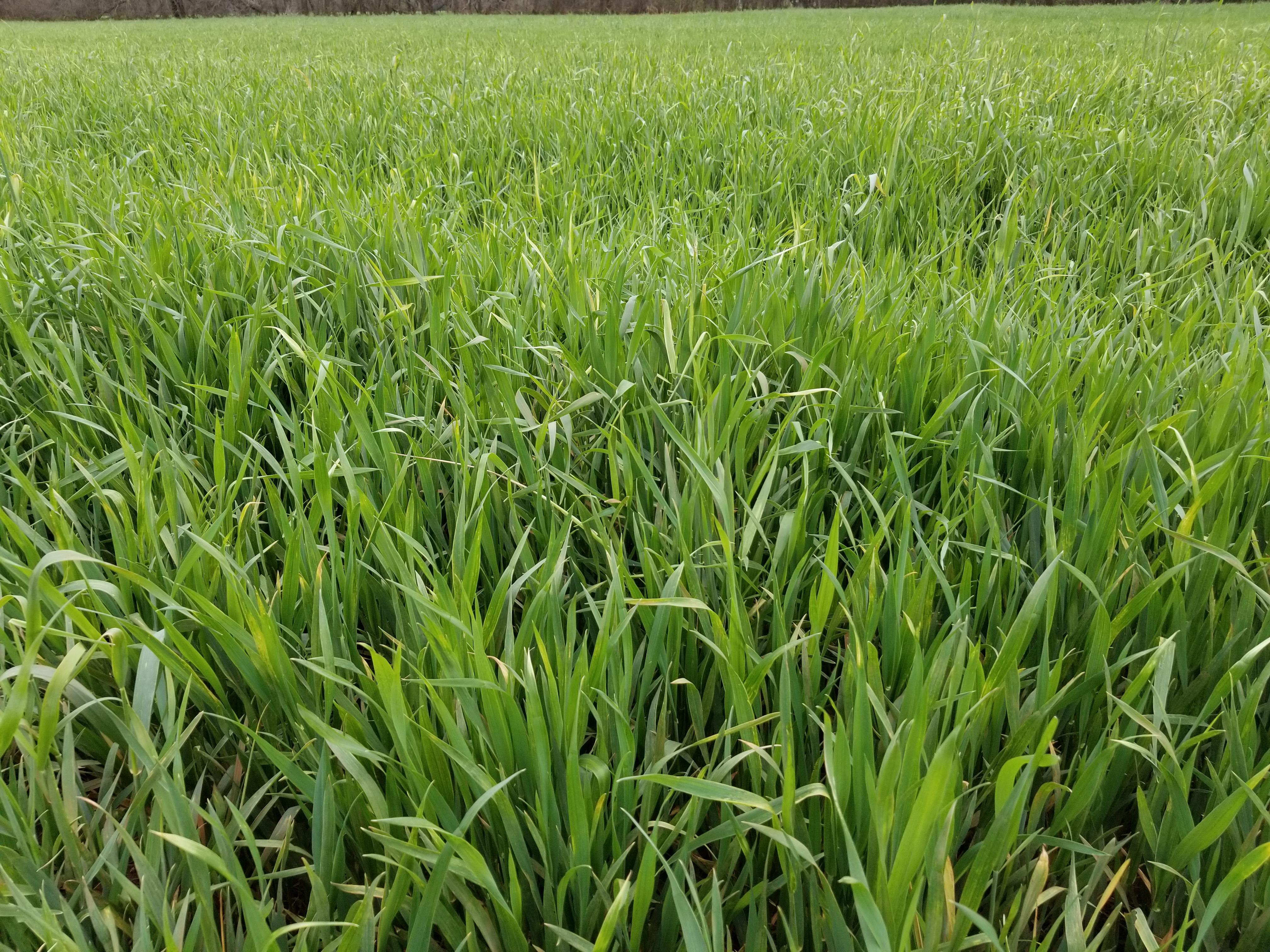
Meanwhile, much of the rest of the state is seeing wet conditions delaying spring planting. The abundant moisture is helping the winter wheat as noticed in the picture accompanying this story which shows a Logan County wheat field.
Unfortunately, the driest areas will not receive much help in the coming days as the NOAA weather precipitation forecast map shows no additional moisture for the far western Oklahoma Panhandle.
The U.S. Drought Monitor Map is developed through a partnership between the National Drought Mitigation Center at the University of Nebraska-Lincoln, the United States Department of Agriculture, and the National Oceanic and Atmospheric Administration.
WebReadyTM Powered by WireReady® NSI
Top Agricultural News
More Headlines...


