

Agricultural News
Fire Situation Report for January 4, 2021--No Burn Bans Issued Currently
Mon, 04 Jan 2021 11:01:37 CST
 In the latest fire situation report, there are no current burn bans to report.
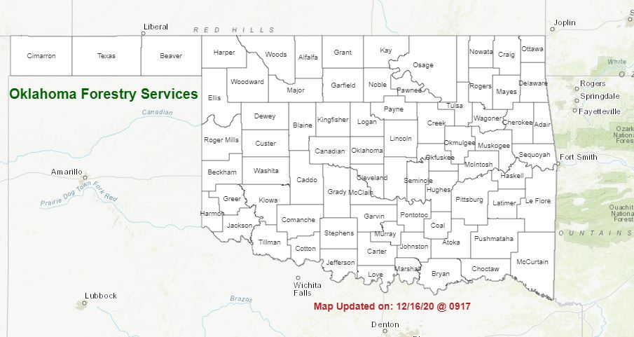
PROTECTION AREA STATISTICS December 24, 2020 through January 4, 2021
NE Area 9 Fires Burned 114.4 Acres (6-Incendiary, 2-Escpaed Debris, 1-Electrical)
EC Area 8 Fires Burned 367.8 Acres (3-Escaped Debris, 4-Incendiary, 1-Escaped Control Burn)
SE Area 25 Fires Burned 389.5 Acres (5-Escaped Debris, 19-Incendiary, 5-Escaped Debris, 1-Misc.)
Large / Significant Fire Activity within the Protection Area: No New Activity
Fire Activity with OFS Response outside of the Protection Area: No New Activity
OFS Prescribed Fire Activity: No New Activity
FIRE DEPARTMENT STATISTICS from www.firereporting.ok.gov recorded on January 4, 2021 (12/24/20-01/04/21)
· Moderate Initial Attack Activity with Reporting Ongoing
Statewide Discussion: Elevated fire weather is expected Tuesday in the Oklahoma Panhandle edging into northwestern
Oklahoma as a frontal boundary slides into the area. Composite fuel moisture has relaxed to some extent, below the 70th percentile
in this area, limiting the threat for large and/or significant fire occurrence although wind-driven runs are likely given uniform fuels.
Water equivalent from recent winter weather events in the area have been rather unimpressive resulting in days since wetting
precipitation ranging from 16-67 days across the Panhandle and extreme northwestern Oklahoma. Snowmelt continues in those
areas where heavier amounts accumulated over the holidays, otherwise a boost in moisture across the body of Oklahoma has
served to relax fire danger in most locations providing very good opportunity for successful initial attack.
Today: Above normal temperatures will serve to melt much of the remaining snow cover in those areas where higher amounts
were realized and on the sun-sheltered northern aspects. Overall fire danger indices will remain low today with some moderate
indices this afternoon in the Oklahoma Panhandle and western tier of counties along the 100th meridian. Winds will remain rather
light through with a northerly component. Any fires occurring today will exhibit minimal suppression challenge, although upperlevel soil moisture is likely to limit engine/equipment access in most locations.
Tuesday: An uptick in fire danger is likely to be present across the Oklahoma Panhandle and extreme northwestern Oklahoma
with above normal temperatures, fine-dead fuel moisture tapping 6% in the afternoon and stout southwesterly winds that will shift
to the northwest late in the burning period. Areas where uniform, heavier fuel loading are present will produce rates of spread
near 200 ft./min. although most locales will observe rates of spread nearer 100-150 ft./min. on established fires. In short, winddriven fire behavior exhibiting 'normal' resistance to control is expected.
Near Term Outlook: Following a period of elevated fire weather in the Oklahoma Panhandle on Tuesday, somewhat seasonal
weather conditions are expected for the remainder of the week. Precipitation chances associated with the cold front are highest
in the eastern third of the state, and current quantitative precipitation forecasts do not hold much in the way of a wetting rain. Nearterm outlooks point to a return to near-normal climatology. No significant fire danger is anticipated in the short term.
WebReadyTM Powered by WireReady® NSI
Top Agricultural News
More Headlines...


