Statewide Discussion: Generally light winds, moderate afternoon relative humidity values, and good overnight moisture recovery limited fire danger over the past week, resulting in light initial attack activity. Moving into the weekend, fire danger will increase some with increased winds in western and parts of central Oklahoma and continued dry conditions elsewhere, noting that initial attack actions are expected to remain successful. A weak cold front is forecasted to slide into northwest Oklahoma Sunday night, offering some rain chances Monday northwest of I-44. The Oklahoma Drought Monitor indicates continued expansion of abnormally dry conditions and intensification of Moderate Drought indices in central and southwestern Oklahoma as we move through the fall season.
Today: Fire danger will generally remain moderate across Oklahoma today with good overnight moisture recovery, moderate afternoon relative humidity values, and fairly light winds despite the persistence of warm, dry conditions. Grass-dominated fuels will exhibit rates of spread less than 45 ft/min for most sites while timber fuels benefit from shading/sheltering holding ROS to generally less than 15 ft/min. Initial attack efforts are expected to be fully successful.
Saturday/Sunday: Excellent overnight moisture recovery Friday night into Saturday will stall development of active burning conditions until the afternoon hours when relative humidity values settle into the 28-36% range with continued above-normal temperatures and increasing winds in the western and central counties. Sunday will have many similarities, noting that afternoon relative humidity will be a few ticks lower and the wind field may push a bit further east during the heat of the day. Overall, the fire environment lacks the alignment to support large/significant wildfire activity, noting that there is a conditional, very low probability for large fire occurrence should a fire become established in challenging terrain with adverse fuels present.
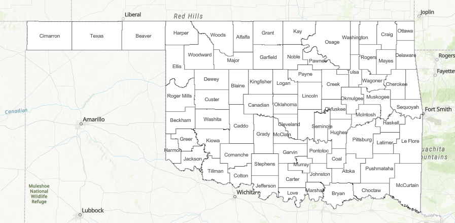
- Western/Central Oklahoma: Temperatures in the mid- to upper-80°s, afternoon relative humidity values 28-36% under some scattered sky cover will yield fine-dead fuel moisture at 6% with some localized 5% observations likely. South to southwest winds 12-20 mph with some higher gusts on Saturday afternoon. Sunday is forecasted to have a bit stronger wind field with southerly winds sustained 15-21 over a broader area with gusts nearing 30 mph. Live fuel moisture continues to provide adequate heat sink retarding fire behavior. Grass-dominated fuels will exhibit max head fire rates of spread of 85 ft/min and flame lengths 5-9 ft. offering good opportunity for successful initial attack.
- Eastern Oklahoma: Temperature will warm into the upper-80°s each afternoon with relative humidity values settling in the mid-30% range supporting late-afternoon 1-hr. fuel moisture observations at 6% while some locations will remain higher. Live herbaceous fuel moisture continues to limit overall fire spread potential in the grass and brush fuels while shading and sheltering in the timber fuel types serves to moderate fire behavior as well. Southerly winds sustained 3-10 mph on Saturday increasing to 6-16 mph Sunday are expected to relax each evening. Grass-dominated fuels will generally exhibit head fire rates of spread <65 ft/min while timber fuels will struggle to exceed 15 ft/min. The exception may be pine fuels in southeastern Oklahoma where drying has occurred supporting potential for some rates of spread and problematic fire behavior. Nonetheless, initial attack action is expected to be successful.
Near-Term Outlook: A weak cold front is forecasted to enter northwestern Oklahoma Sunday night into Monday offering some low rain chances in the same area before the front weakens/stalls in central Oklahoma. While no critical fire weather or fire danger is evident in the near-term forecasts, warm and dry conditions are expected to resume next week supporting brief, diurnal burning periods.


