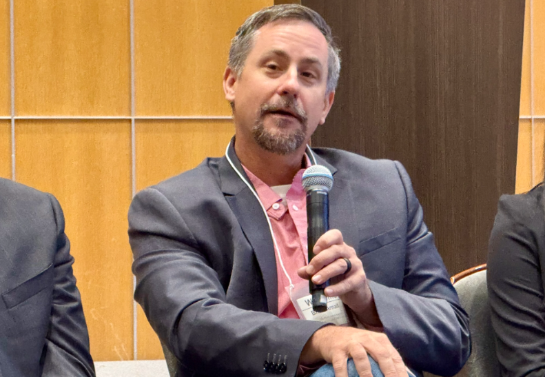
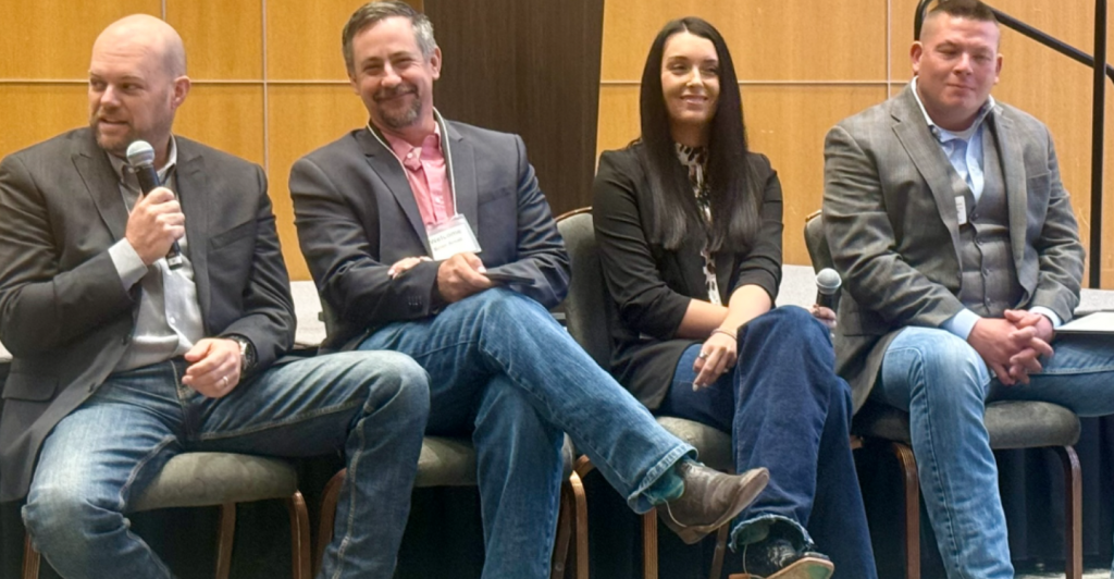
Drones are quickly becoming valuable tools for specific tasks on the farm. Farm Director KC Sheperd spoke with Oklahoma State University soil scientist Dr. Brian Arnall, who shared his perspective on how drone technology has evolved in agriculture. He explained that “mapping drones… is really where the drone technology first started jumping in, probably about six or seven years ago,” replacing older methods like satellite and aerial photography. Arnall noted his own path into the field, saying, “I became a drone expert before I even touched a drone,” highlighting how early interest in remote sensing shaped his work. Despite the initial buzz, he admitted, “the progression has been really slow,” because while drones collect impressive amounts of data, “we’re still challenged in making really usable information from that data at a scalable level.”
Discussing pasture mapping, Arnall said most producers aren’t yet fully using it, but the concept holds promise. “Could we use it for pasture mapping in that can we look at a pasture with a drone image and say, okay, we have this much Bermuda grass, and maybe this much weedy?” he asked. The goal, he explained, is to “get a better stock of what we have out there and maybe use it for guiding stocking rates or burning or herbicides.” This kind of detailed imagery could allow for more targeted management of forage and weeds, improving both efficiency and productivity on rangeland.
However, Arnall pointed out that scalability and processing remain major limitations. “There’s always been a little bit of a lag in upload,” he said, describing the complex software and time involved in making sense of drone data. He compared it to interpreting soil samples, noting, “I can give 20 people a drone map, and they’re going to give me 20 recommendations.” Battery life and acreage coverage also limit how much ground can be mapped in a day—“maybe 100 acres on a battery” for a smaller drone, or “six or seven quarters a day maximum” for a fixed-wing model. Because of that, “if I need to cover a lot of acres, then I go back to looking at maybe satellite imagery or aerial imagery.”
When asked who drone technology suits best right now, Arnall said agronomists and co-ops are leading adopters. “On the mapping side, it’s agronomists,” he explained, adding that costs have come down. “Ten years ago… my really good mapping drone was over $10,000, and now you can get a DJI Mavic mapping drone for a couple thousand.” Co-ops, he noted, are also “using a mapping drone to help assist its spray drone,” showing how drones are becoming more integrated across agricultural operations. Larger ranchers are also finding value in “spray drones to help spot spray or manage some acreage that they just can’t get equipment to.”
While cost remains a hurdle, Arnall emphasized that drones are becoming relatively affordable compared to traditional equipment. “If I want to go buy a new red or green sprayer, it’s going to cost me upwards of half a million dollars,” he said. “But I can get a spray drone and drone trailer and everything for 40 or 50,000.” The challenge now, he added, is that technology “is advancing so quickly” that older models become outdated fast. “The tech that was released two, two and a half years ago is now obsolete,” but newer versions “haul more and spray more acres.”
Looking ahead, Arnall said the next step is combining mapping and spraying technologies. “We’re using [spray drones] for flat applications I see the next potential combining the mapping aspects of drone technology,” he said. By first mapping a field for invasive plants like “Greenbrier or persimmon or thistle” and then “using the spray drone to spot spray after that,” producers could achieve far greater precision. Ultimately, he concluded, the future of precision agriculture lies in integration: “Getting broad-scale application is more about combining technologies to do a better job, not only in the one area that one was designed for, but across the larger scale and larger platform.”