Wildfire activity has remained low during the past two days with abbreviated afternoon burning windows. Fires that have occurred have presented minimal resistance to control.
A stronger cold front arriving over the weekend is expected to bring widespread freezing temperatures, prompting a more notable transition to fuel dormancy and increased fuel availability. Dry conditions are expected to persist, however, no critical fire weather is expected.
Initial attack activity is expected to continue with low large fire potential and very-low probability of significant fire occurrence.
📅 Today’s Forecast
Areas of fog in some locations will stall the development of burning conditions today as a weak cold front passes through Oklahoma. Northerly winds will be strongest midday, diminishing some into the afternoon and relaxing overnight. Initial attack activity is expected to prove successful.
🗺️ Regional Breakdown
Southwest
- Temperature: 72°-79°
- Humidity: 19-26%
- Fuel Moisture: 4-5%
- Winds: Northerly, sustained around 10 mph with some higher gusts.
- Fire Behavior (Rangeland): Max head fire rates 65-90 ft/min with flame lengths around 8 ft.
Panhandle/Northwest
- Temperature: Mid-60°s (west) to mid-70°s
- Humidity: 19-28%
- Fuel Moisture: 4-5%
- Winds: Northerly, 5-12 mph with gusts. (Note: Winds in the far western Panhandle will gradually shift to southerly late afternoon.)
- Fire Behavior (Rangeland): Head fire rates <90 ft/min with flame lengths 8-10 ft.
Central
- Temperature: Low-70°s (north) to upper-70°s (south)
- Humidity: 29-34%
- Fuel Moisture: 5-6%
- Winds: North, 7-12 mph with higher gusts.
- Fire Behavior (Grassland): Less than 100 ft/min with flame lengths around 9 ft.
- Fire Behavior (Mixed Fuels): Around 50 ft/min with flame lengths 7-9 ft.
Eastern
- Temperature: Mid-to upper 70°s
- Humidity: 32-42%
- Fuel Moisture: 6-7%
- Winds: Northerly, 4-9 mph.
- Fire Behavior (Grassland): < 85 ft/min
- Fire Behavior (Timber): Around 15 ft/min.
📅 Saturday Forecast
Respectable overnight moisture recovery will again stall the development of active burning conditions as temperatures warm into the 60°s and 70°s. Relative humidity will be slightly higher than today, yielding fine-dead fuel moisture generally 5-7% across the state.
Northerly winds will be strongest north and west of I-44, sustained 15-20 mph with higher gusts during peak heating. The highest fire danger will develop in the afternoon in southwestern Oklahoma, where rangeland fuels will support head fire rates of 125-155 ft/min.
Large fire potential (+300 acres) remains conditional and limited to those areas where access is limited by topography. Elsewhere, conditions will remain moderate with lighter, easterly winds further east. Probability of initial attack success remains high.
📅 Outlook (Sunday & Beyond)
With the stronger cold front moving into the area on Saturday, colder air will move into Oklahoma for Sunday, when highs in the upper-40°s and 50°s are forecasted. Dry conditions remain, holding fire danger in place, although current fire behavior predictions support a good probability of successful initial attack.
Freezing conditions Monday morning will kick off a more widespread transition to dormant conditions.
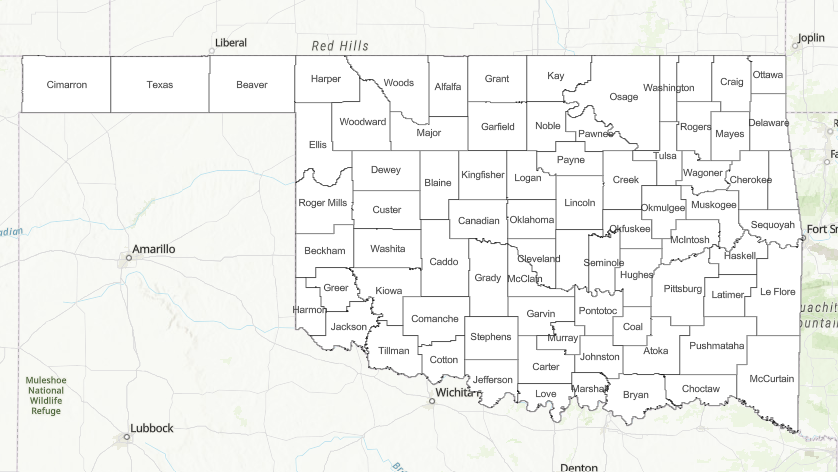
ℹ️ County Burn Bans
Click HERE for current burn ban information.


