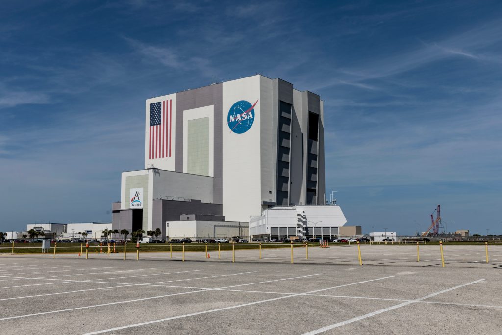
While NASA is renowned for exploring distant planets and the vastness of space, the agency plays a significant, perhaps surprising, role in monitoring and addressing critical agricultural challenges right here on Earth, often in collaboration with the USDA and other federal efforts.
“We look at the Earth as like a living organism, and we need to monitor it and understand what changes are occurring,” explains Brad Doorn of NASA, who brings a unique perspective, having previously worked at the USDA’s Foreign Agricultural Service (FAS). During his time at USDA, Doorn supported the integration of satellite data into the monthly World Agricultural Supply and Demand Estimates (WASDE) reports – a process that uses satellite imagery, weather data, field observations, and government information to forecast global crop production.
This connection between space-based observation and ground-level agriculture continues through several key collaborations. One prominent example involves the U.S. Drought Monitor.
“Through our climate sensors, we’re able now to understand groundwater changes much more effectively than we ever have in the past,” Doorn states. NASA’s Goddard Space Flight Center now provides crucial data products directly to the U.S. Drought Monitor program on a weekly basis. “This provides… groundwater, root zone soil moisture, and surface soil moisture products for the entire nation,” aligning with the Drought Monitor’s weekly release schedule.
Soil moisture information, vital for farmers and resource managers, is a key contribution. Data derived from NASA technology, such as the GRACE (Gravity Recovery and Climate Experiment) climate satellites, is regularly provided to users ranging from USDA agencies to farm media outlets, offering insights into water availability in the soil.
Beyond direct data provision, NASA also develops and offers open-access software and technological products based on its satellite observations for various terrestrial applications, including agriculture.
Doorn highlights the “OpenET” product as an example. “We work with irrigation managers [on OpenET] that really helps us understand water use,” he says. This tool allows a farmer or an irrigation district manager to input the product into their own management systems. The result is access to valuable water supply or crop water demand information “that they’ve never had in the past,” enabling more efficient and informed water management decisions.
Through these initiatives – providing critical drought and moisture data, developing accessible tools like OpenET, and leveraging its unique Earth observation capabilities – NASA actively contributes to the understanding and management of U.S. agriculture, demonstrating how space technology yields tangible benefits for farming and ranching back on Earth.
(Based on a USDA Radio report by Rod Bain)


