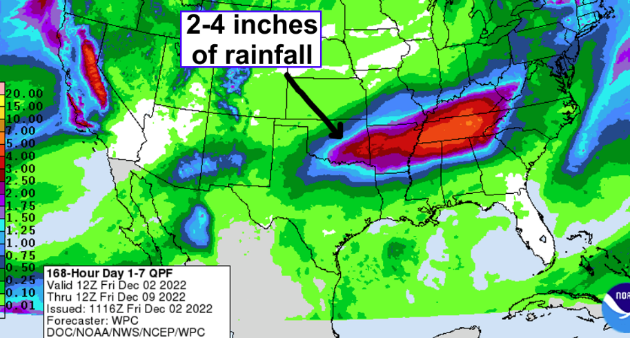
State Climatologist Gary McManus says December is presenting a strange weather pattern with lots of chances for rain “Over the next week or so with lots of moisture wrapping around high pressure in South Texas and swinging up this way from the SW.”
McManus says don’t get your hopes up for snow, though, “There won’t be any snow through the period, even though we’re getting deeper into December. There’s just too much warm-ish air around at the surface and the mid-levels to allow us any frozen fun like that. ” McManus says we will see a couple of cold fronts, the first one tonight, then another mid-week, “The latter of which could produce some freezing rain up in N OK, but not like a huge cataclysmic ice storm since it will still quickly warm up above freezing.”
While we do certainly need the rain, McManus says we do need the rain the worst in the Northwest half of the state where the longer-term deficits are still present.
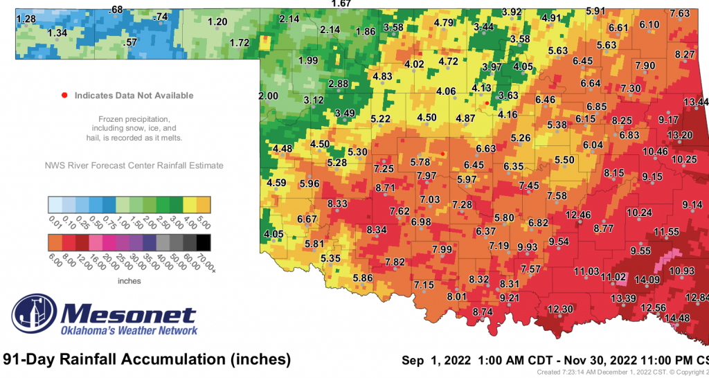
Even though we could see some possible showers in the short term, McManus says the long-term outlook is not ideal for rain.
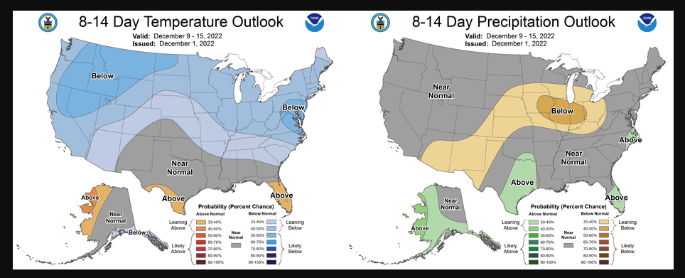
McManus said snow is starting to populate the model output about 10-15 days out, and he will keep an eye on that as it gets closer.
To read more from McManus click here:


