

Statewide Discussion: Recent rains, some in locations where it was much needed, have served to provide a boost in composite fuel moisture while also encouraging expansion of herbaceous green-up. While most locations did receive rainfall, some locations in western Oklahoma continue to extend their separation from wetting rains. Much drier air will overspread Oklahoma today and tomorrow accelerating drying conditions. Elevated fire weather conditions today in northern and central Oklahoma should largely be offset by recent moisture. Although, the strength of drying leading into the weekend coupled with an unsettled weather pattern bringing rain and storm chances over much of the state will also come with a return of near-critical to potentially critical fire weather in the Panhandle and far-western counties on Saturday.
Today: The strongest fire weather today will occur in north-central and northeastern Oklahoma where the highest rainfall amounts occurred Monday. The boost in fuel moisture and ongoing herbaceous green-up should serve to limit ignition potential and moderate fire behavior potential. Nonetheless, new wildfires should provide good initial attack opportunity while prescribed/controlled burning efforts will have reduced escape potential.
North-Central/Northeastern Oklahoma: Some sprinkles/light rain in areas this morning is possible although skies will clear. Temperature will warm into the low-60°’s with relative humidity values bottoming out around 4:00 PM at 24-28%. Given the recent rains, fine-dead fuel moisture will be a bit delayed in response although 6% observations are likely this afternoon. Northwest winds increasing into the afternoon sustained 15-19 mph with some gusts topping 30 mph will support potential for moderate rates of head fire spread in rangeland fuels 114-166 ft/min and flame lengths averaging 15 ft. Winds do calm after sunset coupled with delayed moisture recovery. Overall initial attack efforts will be successful noting that some large fire potential exists.
Oklahoma Panhandle / Western Oklahoma: Wheat fields and areas of green-up along roadsides and heavily grazed areas are providing some breaks in the fuelscape although the rangeland fuels continue to support active fire behavior. Temperatures will warm into the mid- to upper-60°’s with a 70° observation in some areas under mostly-clear skies. Relative humidity values will register 18-29% this afternoon yielding fine-dead fuel moisture at 6% noting that some 5% observations are likely. Northerly winds will increase into the afternoon sustained 15-20 mph with some higher gusts. Rangeland fuels where grazing/haying have been absent have potential to exhibit head fire rates of spread 113-160 ft/min with flame lengths around 12 ft during peak burning conditions. Fire weather elements do relax following sunset.
Near-Term: Strong drying conditions today through Friday will bring an expected increase new wildfire occurrence noting that the burn periods remain diurnal providing good initial attack probability of success. A large fire or two cannot be ruled out although significant fire potential remains limited. Accelerated drying in the coming days will prime fuels in the Panhandle and far western Oklahoma where green-up lags behind areas further east. Saturday will present near-critical to potentially critical fire weather raising wildfire potential. Increased initial attack activity and enhanced large fire potential seems likely although significant fire potential (>5,000 acres) will remain low given current weather and fuels inputs.
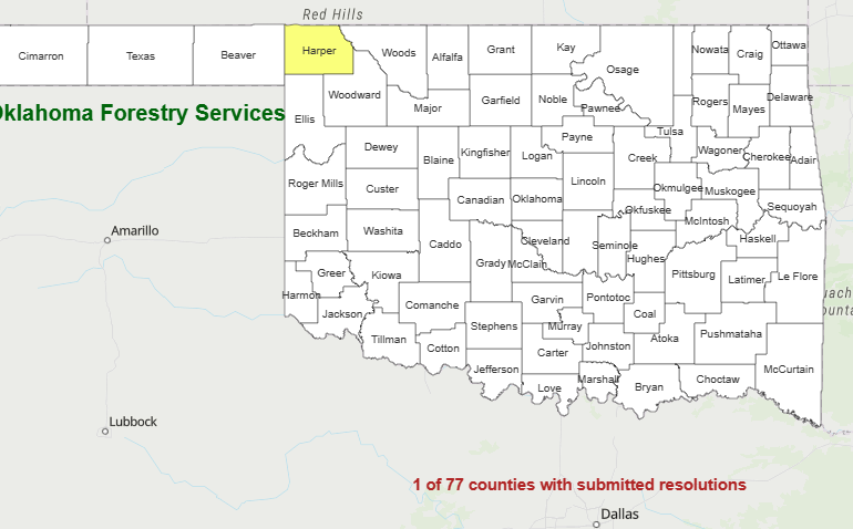
County Burn Bans: Click HERE for the most current burn ban information.


