Statewide Discussion: Critical fire weather in the western Panhandle today with elevated fire weather over dry fuels across the Panhandle into northwestern Oklahoma where some locations remain +90 days separated from wetting rains. Wildfire concerns in the northwest continue into the weekend ahead of a potent weather system Monday afternoon into the early morning hours on Tuesday. Saturday and Sunday will bring temperatures +15°-20° above normal with very dry air in the Panhandle/northwestern counties. At this time, fire weather inputs may register just below critical criteria although fuels will be approaching the 90th percentile with Energy Release Component translating to increased resistance to control. In the northwest, we have repeatedlyexperienced suppression difficulty due to wind-driven fires with well above normal fuel loading and potential for suppression difficulty compounded by resistance to control will pose significant challenges on the fireground with any established wildfire in those high-severity fuels.
Today: Red Flag Warning in effect today in Cimarron County from 1:00 PM through 9:00 PM. Elevated to near-critical fire weather will extend across the Panhandle into northwestern Oklahoma as warmer/drier pattern intensifies through the weekend. With this area missing out on meaningful rainfall earlier this week, the already dry, heavily-loaded fuelscape will be subjected to intensified drying. Direr air will overspread the state today posing increased initial attack potential although recent rains and ongoing green-up should provide very good initial attack opportunity. While initial attack efforts are expected to be successful today, large fire potential increases tomorrow with significant fire potential building.
Warned Area (Cimarron County): A cool start with good overnight moisture recovery will give way to temperature warming into the 79°-82°range with afternoon relative humidity values 9-11% under clear skies. Fine-dead fuel moisture values at 3% will be quite receptive. South-southwest winds sustained 11-18 mph with higher gusts will support potential for moderate to rapid rates of fire spread. Rangeland fuels will generally express head fire rates of spread 120-150 ft/min with +/- 11 ft. flame lengths during peak burning conditions. Fuels in the mesa country will exhibit ROS 40-62 ft/min and FL +/- 8 ft. In those brush and sparse timbe fuels, firefighters should anticipate single/group tree torching and short-range spotting. Overnight moisture recovery will be marginal at best leading to an extended burning period.
Oklahoma Panhandle/Northwest Oklahoma: Respectable overnight moisture recovery and cool temperatures this morning will rapidly give way to temperatures in the 80°’s under clear skies. Relative humidity values this afternoon at 15-25% will support receptive 1 Hr. fuels at 3% in the PH counties and 4% in the NW counties. Calm winds this morning will become southwest sustained 11-15 mph with some higher gusts. Rangeland fuels will support head fire rates of spread 95-140 ft/min with flame lengths 10-13 ft.
North-Central Oklahoma: Several prescribed fires and controlled burns were conducted yesterday and more of the same is anticipated today. Temperature will warm into the mid-to upper 70°’s with relative humidity values dipping in to the 22-27% range (approx. -10% from yesterday). This will lead to fine-dead fuel moisture values tapping 4% in some locations and intensified fire behavior from yesterday’s observations. South winds sustained 6-12 mph with limited gusts will hold head fire rates of spread in grass-dominated fuels to around 90 ft/min noting that quicker rates of spread are likely on fully established head fires.
Near-Term: Fire danger will gradually increase each day this weekend ahead of a storm system entering the Southern Plains Monday afternoon. The Probability of Significant Fire graphic to the right identifies the most likely area of concern noting that placement of the dryline on Monday will dictate the location and intensity of concerns.
This graphic will be updated as our forecast confidence increases. Current forecast models are struggling with the resolution of placement at this time. A more westward oriented dryline will lessen concern in northwest Oklahoma while a more eastward placement both broadens and increases concern and probability. Nonetheless, firefighters should anticipate increased resistance to control coupled with problematic fire behavior leading to extreme fire behavior potential.
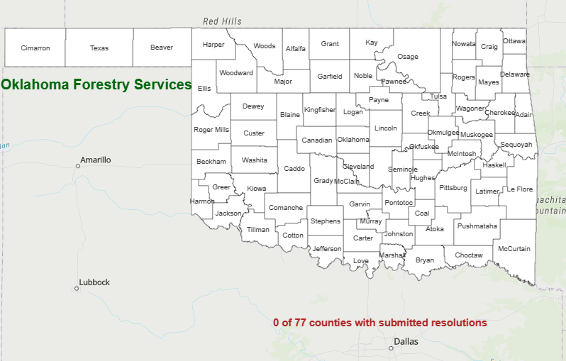
County Burn Bans: Click HERE for the most current burn ban information.


