

State Climatologist Gary McManus says a storm system is approaching from the West, “That system will drag a cold front through the state that will not only help propagate storms eastward through the state but also bring us back down to actual winter!”
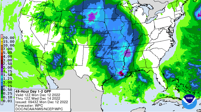
McManus says we will see the coldest weather around the Christmas Holiday, and as far as snow, it still doesn’t look like much of a possibility, but we may see some more moisture, “We do have some moisture in place, and while not much, it should help provide the fuel necessary for big storms later tonight into the morning tomorrow. And we will see more moisture returning north as the southerly winds kick up in response to the approaching storm system. The system should provide yet another dose of drought relief for much of the main body of the state. “
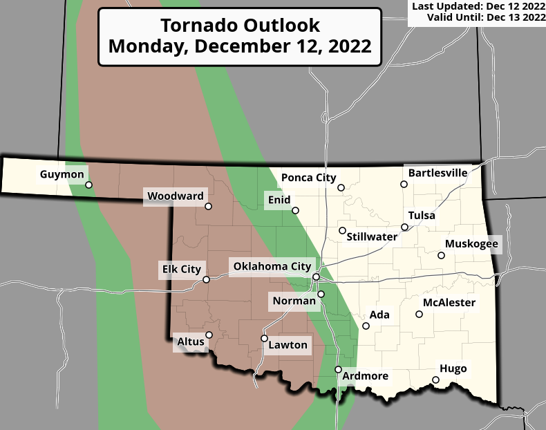
The Biggest threat for Severe Weather is across the High Plains, “As for the severe weather threat itself, look for the possibility of a tornado or two out across the High Plains as the storms just get going, and then the possibility of those usually-weak/usually-brief (BUT NOT ALWAYS) embedded tornadoes within the line that is forecast to march across the state. And as is usually the case, all severe hazards are possible across the state’s western half.”
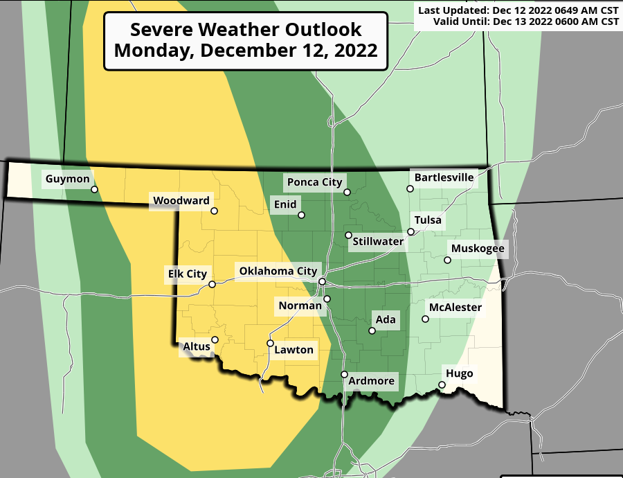
McManus says to be Weather aware, especially across Western and Central Oklahoma, especially overnight.
To read more from Gary McManus on his Mesonet Ticker, click here:


