

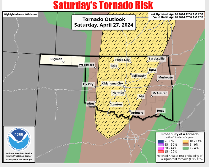
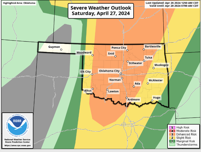
It looks like Oklahomans will have to be weather-aware this weekend as storms can possibly enter the state. State Climatologist Gary McManus says Saturday will be one of ‘those’ days in Oklahoma, “We have several ways to get severe weather tomorrow…along the dryline from Kansas down through western OK into Texas, along the warm front up north, and in the warm sector everywhere in between. Oh yeah, along an advancing cold front, too. Like the graphic says…it’s complicated but also pretty simple. Just get and remain prepared throughout the day tomorrow.”
McManus says storms could pop off across the state with lots if instability, “There appears to be enough recovery
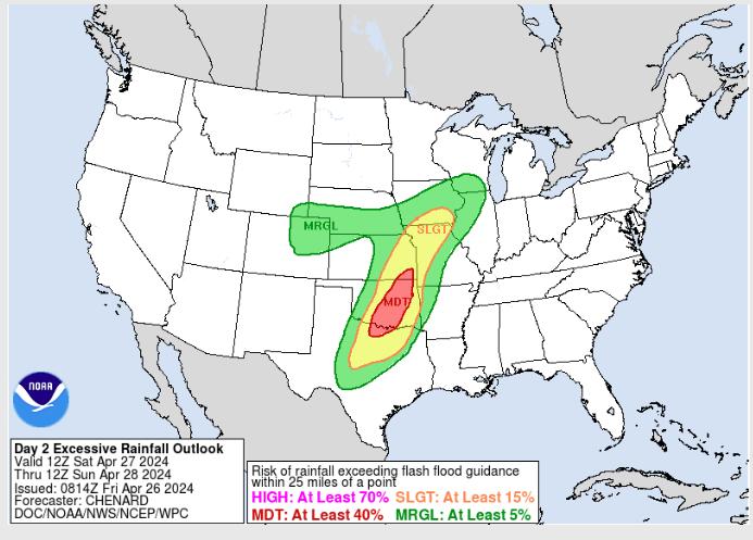
during the day to really set things off, regardless of any chances of those morning showers/storms lessening the instability later that day. SPC mentions that those dryline storms could produce “strong to intense tornadoes…” for any supercells that go up and persist. Don’t forget the flooding risk, either, where we see at least a 40% risk of flash flooding broadly centered across the I-35 corridor tomorrow, where 3-4 inches of rain could fall with training storms.”
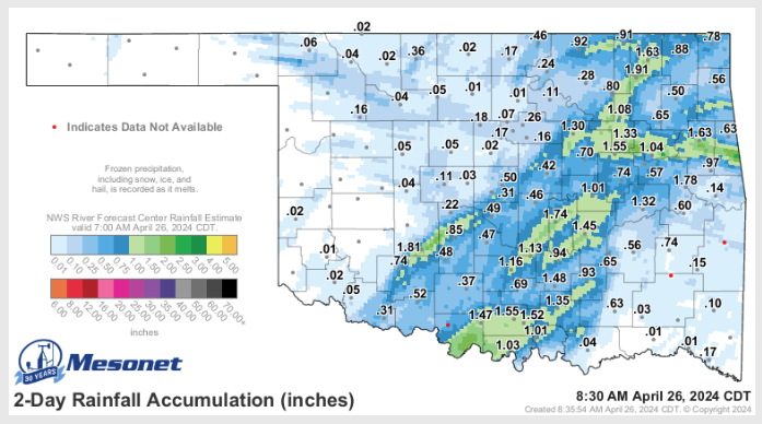
If we do get rain across the state, that will help to start putting a dent in the strengthening Flash Drought. “We now have more than 35% of the state BACK in drought, after having it down to just 3% about a month ago,” Says McManus. Parts of the state have received rainfall, just not in the places where we need it the most.
McManus reminds everyone to be weather aware throughout the weekend and keep watch with your local media source.


