Oklahoma forestry officials and local fire departments are working to improve containment on several large wildfires today as a cold front brings a temporary reprieve from the extreme heat, though fire danger remains firmly in place across the state.
According to the Oklahoma Department of Agriculture, Food & Forestry (ODAFF) Fire Situation Report for March 16, 2026, suppression efforts are currently focused on 10 active fires outside of initial attack areas that have burned a combined 4,953 acres.
Current Major Fire Activity
Fire crews are managing several significant blazes across the state:
- Salt Fork Fire (Jackson County): 3,656 acres, 30% contained.
- Water Moccasin Fire (Love County): 750 acres, 45% contained.
- Round Mountain Fire (Latimer County): 252 acres, 70% contained.
- Little Antler Fire (Cherokee County): 250 acres, 65% contained.
- Sage Road Fire (Carter County): 157.5 acres, 70% contained.
- Long Ridge Fire (Latimer County): 130 acres, 80% contained.
The report also noted that while yesterday’s strong cold front brought challenging winds and even scattered snow, the post-frontal air remains very dry. Relative humidity values are expected to dip below 20% today, keeping fine dead fuels highly receptive to ignition.
Regional Outlook and Weather Hazards
The ODAFF indicates that while northerly winds have slowed compared to Sunday’s gusts, they remain strong enough to support moderate to rapid rates of fire spread.
In North-Central and Northeast Oklahoma, northwest winds of 12–17 mph are expected. Tall-grass fuels in these areas could see head fire spread rates of 120–185 feet per minute, with flame lengths reaching up to 19 feet. In Western and Southwest Oklahoma, rangeland fuels are projected to see flame lengths between 12 and 18 feet.
Statewide, a “Dry Return Flow” weather pattern is expected to develop by Tuesday. This shift will bring a return of southerly winds and a warming trend that could lead to record-breaking temperatures later in the week.
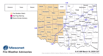
Fire Weather Watch Issued
A Fire Weather Watch is currently in effect for Western Oklahoma for Tuesday, where south-southwest winds around 20 mph and low humidity will likely elevate fire danger indices. Officials anticipate this watch may transition into a Red Flag Warning as 1-hour fuel moisture drops to near 3% in western counties.
Oklahoma Forestry Services has mobilized suppression groups and task forces in Guymon, Altus, Anadarko, Guthrie, and Ardmore to respond to new starts and continue work on existing perimeters.
Residents are urged to remain vigilant and avoid activities that could cause sparks, as dry conditions are forecast to persist through the near-term.
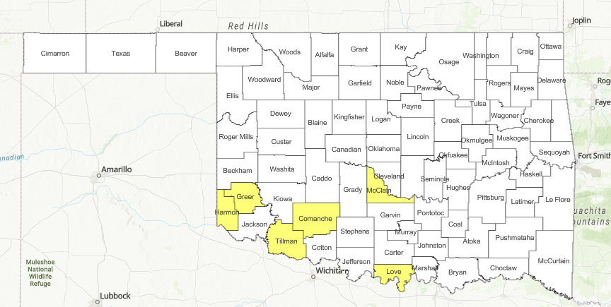
County Burn Bans: Click HERE for current burn ban information.