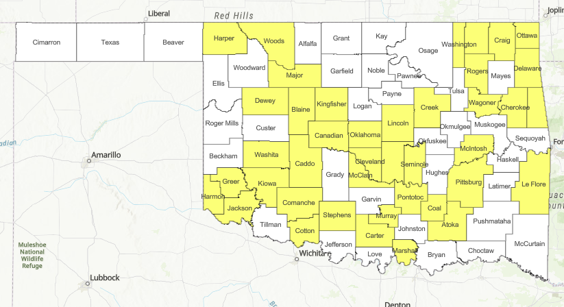

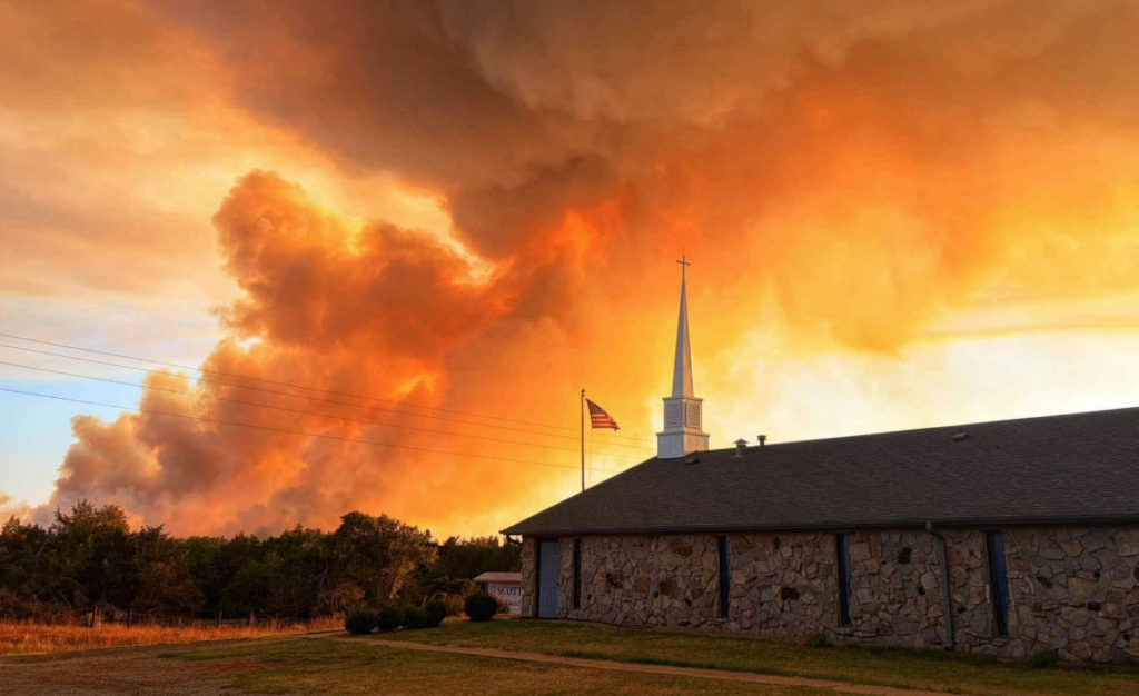
Persistent drought, excessive heat, and lagging rainfall continue to drive elevated wildfire danger across Oklahoma, highlighted by the active 3,000-acre Gracemont Fire in Caddo County, which remains at 0% containment under management by the US Wildland Fire Service.
According to the latest Fire Situation Report from the Oklahoma Department of Agriculture, Food & Forestry (ODAFF) Oklahoma Forestry Services (OFS), large fire activity accounted for 3,371.7 burned acres across four fires, while local fire departments responded to 13 fires totaling 1,257.9 acres. Statewide suppression activity from September 7 through September 13 documented 48 fires burning 642.4 acres across three primary regions:
- Northeast Area: 3 fires burned 18.0 acres, triggered by escaped debris, equipment, and incendiary causes.
- East Central Area: 11 fires burned 78.8 acres, caused by lightning, escaped debris, electrical issues, equipment, a structure fire, an undetermined source, and four incendiary ignitions.
- Southeast Area: 34 fires burned 545.6 acres, driven by 17 incendiary starts, 11 lightning strikes, three equipment incidents, two electrical failures, and one other cause.
While scattered areas have seen wetting rain, southwestern, south-central, and portions of southeastern Oklahoma remain critically dry, with many locations exceeding 20 days without measurable moisture. Energy Release Components in the 90th percentile and fine-dead fuel moisture levels around 5% are creating significant resistance to control, requiring extended resource commitments. In response, OFS has mobilized Task Force Goldsby and Task Force Weatherford.
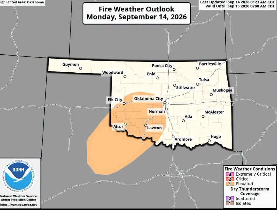
Conditions across the state are highlighted by distinct regional threats:
- Oklahoma Panhandle and Northwest: Monday presents peak fire danger with temperatures near 100 degrees, humidity dropping to 22-29%, and south winds sustained at 18-23 mph with gusts topping 30 mph. Established rangeland fires could see head fire spread rates up to 185 feet per minute and 12-15 foot flame lengths.
- Western and Southwest Oklahoma: Triple-digit heat reaching 102 degrees, 20 mph sustained winds, and gusts to 30 mph will support head fire spread rates around 155 feet per minute. Spotting and torching are expected in brush, with extreme behavior possible where timber stringers and juniper align with terrain and winds.
- Central Oklahoma: Critical fire danger focuses along and west of Interstate 35 and into south-central counties. Highs will reach 101 degrees with gusts up to 25 mph, generating rangeland flame lengths near 12 feet.
- Eastern Oklahoma: Recent rain has softened the threat in the northeast, but the southeast faces elevated indices. Grass fuels will support spread rates near 100 feet per minute, with challenging suppression conditions in brush, pine, and drought-stressed oak.
A weak frontal boundary arrives Tuesday afternoon, bringing isolated rain chances and moderating conditions primarily to the Panhandle and northwestern counties. Above-normal heat and dry conditions will dominate the rest of the state through Friday, before a stronger weekend front offers potential relief with cooler temperatures and widespread rain chances.
Burn bans: