
While sunny skies and crisp conditions may feel pleasant across much of Oklahoma, agricultural producers and water managers know that the best weather right now comes in shades of gray. Soil moisture deficits, low stock ponds, and diminished lake levels across the state continue to make widespread, soaking rainfall the top priority heading into late fall.
According to Oklahoma State Climatologist Gary McManus with the Oklahoma Mesonet and Oklahoma Climate Survey, relief is on the way, starting in the western third of the state.
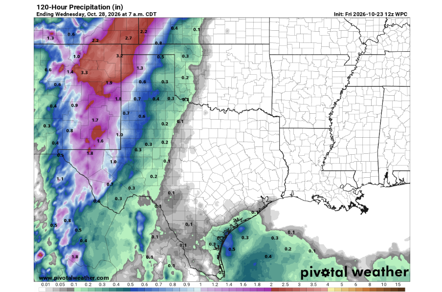
The Oklahoma Panhandle and western Oklahoma are slated to receive soaking rains beginning immediately, with precipitation chances persisting through early next week. For growers trying to establish winter wheat and ranchers looking for runoff to fill pasture ponds, the incoming system brings welcome moisture to areas that have faced persistent dry stretches.
The rest of the state will have to wait a little longer. Forecasters note that it will take several days for the weather pattern to shift eastward and deliver beneficial rains to central and eastern Oklahoma.
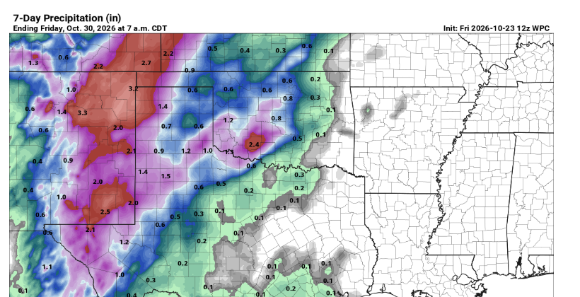
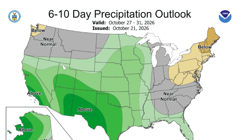
Looking into the 6-to-7 day outlook, long-range model depictions point to a growing probability of significant rainfall spreading across the eastern two-thirds of the state. While specific localized amounts will adjust as the system develops, the broader synoptic setup indicates that rain chances could linger through next weekend and potentially stretch into the following days.
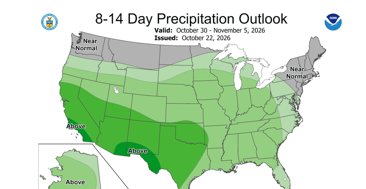
For communities and producers keeping an eye on autumn field work, pasture conditions, and upcoming outdoor events, the transition to an active, wetter pattern offers a timely boost for subsoil moisture reserves across Oklahoma.
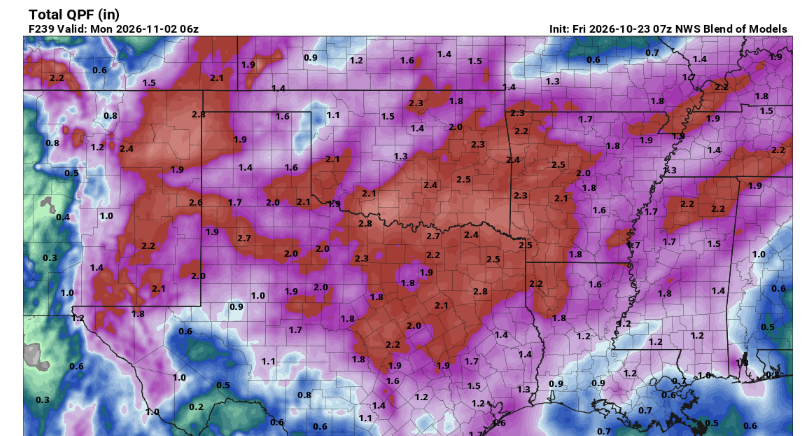
To see more from State Climatologist Gary McManus on his Mesonet Ticker, Click here: