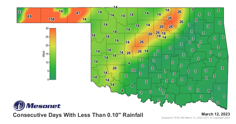
Statewide Discussion: While areas generally east of I-44 received wetting rains through last week, the rest of Oklahoma did not fare so well. The absence of wetting amounts continues to build with a specific note in the Panhandle and far northwestern Oklahoma, where a 4-6 month separation has become alarming. Significant fire danger is not currently forecast for this week with some light wintry precipitation possible in the Panhandle/Western counties early in the week along with some rain chances south. A strong cold front forecasted to enter the Oklahoma Panhandle Thursday will transit thestate offering precipitation chances statewide. Dependent upon rainfall, dry and breezy conditions both Friday and Saturday may pose some elevated wildfire risk in the west and northwest.
Near-Term: A coarse look at the precipitation expectation for the week ahead holds little promise of wetting potential in the west and northwest, unfortunately. No significant fire weather is in the current forecast, although Friday and Saturday will be dry and breezy in the post-frontal environment. The next update to the Oklahoma Wildfire Situation Report will be issued on Friday, March 17, 2023 unless fire weather or wildfire occurrence dictates otherwise.
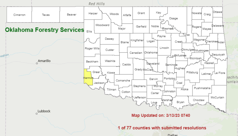
Burn Bans: Refer to: https://ag.ok.gov/divisions/forestry-services/ for the most current burn ban information and links to specific burn ban proclamations.
*** Note: Cimarron and Texas Counties Burn Bans expired at midnight, but they are anticipated to be renewed today.