


Farm Director KC Sheperd caught up with Oklahoma State Climatologist Gary McManus to talk about current and upcoming weather conditions in the state.
He noted the record low temperatures of the most recent and previous artic blasts that hit the state over the last week or two. “This is the coldest weather that we have seen in Oklahoma since February 2021,” McManus said. “That decrease back in 2021 was generational cold. This is just a little bit lesser and is just, of course, one or two days, so not quite as bad as that horrible time back then.”
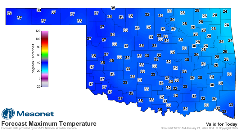
McManus assured that today, January 21, is the last day of the current extreme cold front and temperatures should rise throughout the predictable future. He did mention that, despite last week’s snowfall, conditions are trending drier.
Areas across the Northwestern, North Central, and Southwest portions of the state have gone a couple of months without significant moisture events – less than ¼ inch of rain or melted snow in a single day.
“We are definitely hurting for moisture in those parts of the state,” McManus said. “As we get into February, that is still the driest part of the year. It can rain or it can snow a lot, but nothing like that is showing up right now, but we can’t really tell this far out.”
He said that the La Niña system that weathermen had been predicting for some time has arrived, although it is a weak system making its impacts a little less certain. It typically brings warmer and drier conditions during the winter months and is expected to last through early spring, but its weakness may change that prediction.

While the weekly Drought Monitor Report doesn’t look bad right now, McManus says that is because it has been so cold. Should temperatures rise above normal for very long, drought conditions will intensify and spread.
“The thing I worry about is we are heading into spring with deficits, so if we get any sort of drier than normal spring, we are going to right back into that drought that we saw alleviated back in November,” McManus warned.
McManus declined to comment on what 2025 might look like but agreed that 2024 held extraordinary weather noting the horrible drought in late summer and fall that was alleviated by the wettest November on record for the state. The year’s temperatures tied for the warmest year recorded, which was set in 2012. The state experienced a record number of tornadoes – 152 – surpassing the 149 recorded in 2019.
“Looking ahead to 2025, I’m worried to say anything that might jinx it,” McManus said. “This is just a sign of the times. Over the last fifteen or twenty years, extreme weather has kicked up a notch in Oklahoma so there is really no telling what is going to happen.”


