

State Climatologist Gary McManus issued a cautionary update regarding the developing weather system, emphasizing one key theme: uncertainty. While confidence in the forecast details remains low, the risk of hazardous travel conditions—particularly freezing drizzle—warrants heightened awareness over the next 36 hours.
The Setup: A Complex Frontal Battle. The current atmospheric setup features a warm front moving north from the Red River area, interacting with a cold front to the north. Complicating matters is a reinforcing cold front expected to move into the area later today.
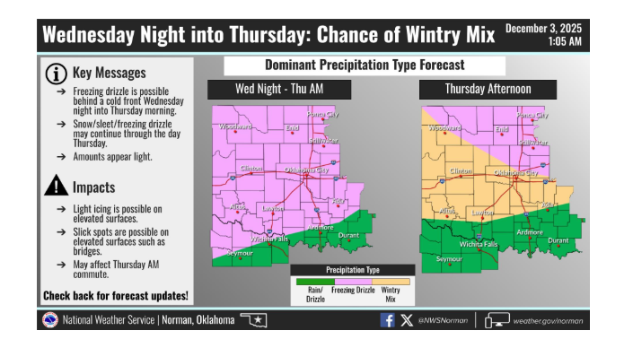
According to McManus, the type of precipitation Oklahomans will see depends entirely on the “vertical temperature profile”—how the temperature changes at different heights in the atmosphere.
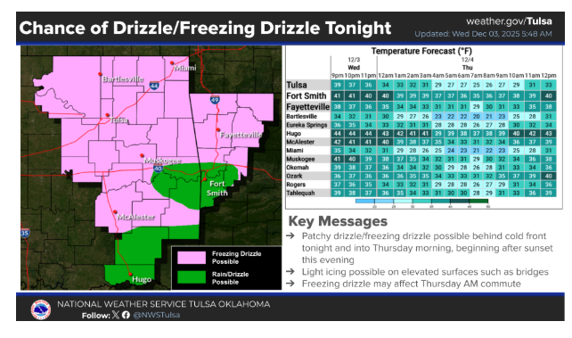
- South/Southeast OK: This region is most likely to see plain rain, which is the best-case scenario.
- Other Regions: The outlook is a mixed bag of winter precipitation. McManus notes that while sleet or snow are often manageable for drivers, freezing rain—and specifically freezing drizzle—poses the greatest threat to road safety.
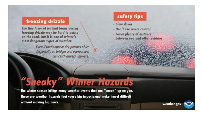
The Impact: Morning Commute Concerns While current models suggest precipitation amounts may be light, McManus warns that even trace amounts of freezing drizzle can create treacherous driving conditions. There is also the potential for isolated bands of heavier snow, sleet, or freezing rain.
The timing of this system makes it particularly problematic, as impacts could coincide with the morning commute.
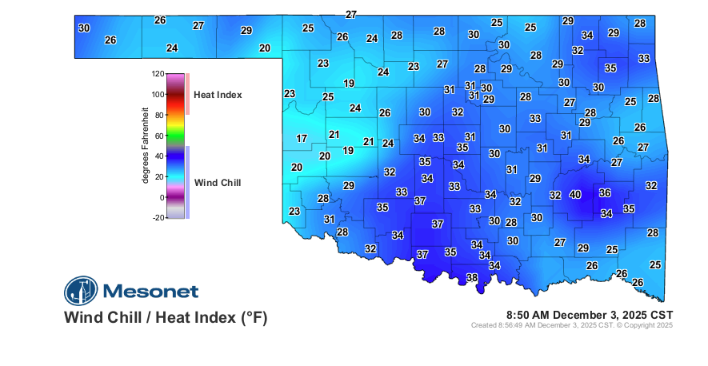
Safety and Preparedness With the approach of a “bigtime cold front,” conditions will likely be some of the coldest of the season so far. McManus advises Oklahomans to avoid getting stuck outside or skidding off the road in these temperatures.
Because the forecast is volatile and the exact location of frozen precipitation is difficult to pinpoint, the advice is to remain flexible.
“Given the uncertainty, make plans to change plans,” McManus advised. “You need to do the staying weather aware thingy.”
Residents are encouraged to monitor local NWS updates closely as the system evolves.
To read more from State Climatologist Gary McManus on his weekly ticker, click here:


